When your project depends on location data accuracy, spatial analysis, and smooth integration with existing systems, you can’t risk hiring the wrong GIS engineer. The truth is, hiring in this field isn’t just about finding someone who can use mapping software — it’s about finding a professional who understands your industry, integrates seamlessly into your workflows, and delivers results without slowing your timeline.
That’s exactly where we come in.
We are a complete solution for hiring GIS Engineers, giving you the speed and flexibility of a freelancer but the reliability, dedication, and long-term value of an in-house professional. From talent matching to onboarding and project management, we handle it all so you don’t waste time, budget, or energy.
Imp: Hiring the wrong talent leads to costly rework, missed deadlines, and missed opportunities. Hiring through our model ensures you get the right engineer, the first time.
How We Work
We’ve built a hiring process that removes the risks and frustrations of traditional recruitment:
Step 1: Understanding Your Project Needs
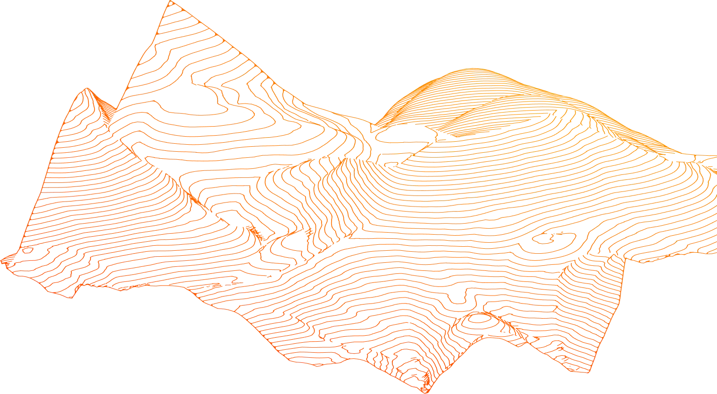
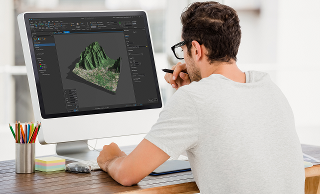
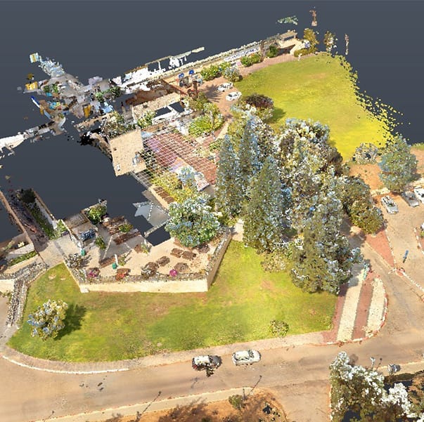
Our process starts with a deep dive into your project scope, timeline, and technology stack. We understand exactly what kind of GIS expertise you need — from spatial database management to 3D mapping integrations.
Step 2: Talent Matching with AI Precision
Our proprietary AI doesn’t just match skills on paper. It studies your past project samples, evaluates your team’s communication style, and understands your industry’s compliance needs, ensuring your GIS engineer fits right in from day one. This means zero ramp-up time and immediate productivity.
Step 3: Trial Month to Ensure Fit
Before committing, you can work with your assigned GIS engineer for a trial month to ensure they fit seamlessly into your team and deliver as expected.
Step 4: Seamless Integration
We help your GIS engineer integrate with your workflows, tools, and communication channels. Our project managers oversee the onboarding to ensure zero disruption.
Step 5: Continuous Management & Support
Our project managers track performance, ensure deadlines are met, and handle any challenges, so you get results without having to micromanage.
Imp: Beyond day-to-day tracking, every GIS engineer receives a 6-month custom training plan, keeping them updated with the latest geospatial tools, data visualization methods, and cross-discipline collaboration techniques. This ensures your team’s capabilities keep growing, even mid-project.
“How We Keep Delivery On Track”
We use a sprint-based delivery model, breaking work into focused task cycles. This gives you complete visibility, predictable delivery timelines, and the ability to adjust priorities without derailing progress.
How Our Model Benefits You
- Speed: We can place a top GIS engineer in your team in a fraction of the time of traditional hiring.
- Quality: Only vetted, proven professionals.
- 30–40% cost savings compared to traditional hiring.
- 2–4x faster onboarding.
- Flexibility: Just like a freelancer, you can scale up or down as needed — but with the dedication and accountability of an in-house resource.
- Risk-Free Start: The trial month lets you test before you commit.
- Full Project Support: Our PMs and tools ensure smooth collaboration between your GIS engineer and other roles such as MEP engineers or BIM engineers.
The Power of Our J.O.T App & Project Managers
- J.O.T App: Gives you instant updates, progress tracking, and communication with your engineer.
App Features Include:
✔ Task assignment and priority setting
✔ Real-time sprint and goal tracking
✔ Auto-generated daily reports with deliverables
✔ Dedicated templates for GIS and engineering projects
✔ Easy access from desktop or tablet
- Project Managers: Act as your bridge, ensuring goals are met, deadlines are respected, and challenges are resolved before they become problems.
This combination means you’re never in the dark and your project stays on track from day one.
Beyond GIS
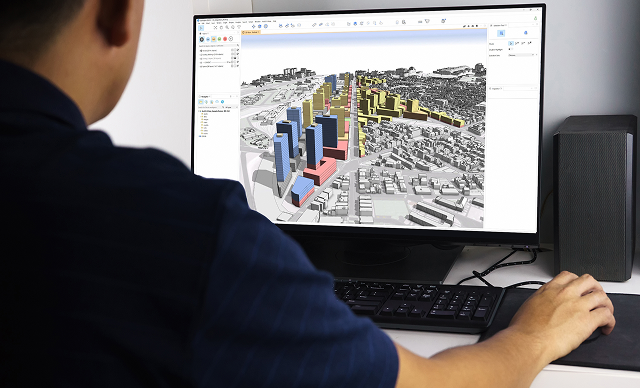
Often, GIS work is only one part of a larger project. We can also integrate other experts like BIM engineers, MEP engineers, or structural engineers, into the same workflow, ensuring every component of your project aligns perfectly.
The Bottom Line
With our proven model, you get:
- Top-tier global talent.
- Rapid placement.
- Full project management support.
- Zero hiring risk.
If you’re ready to bring in the best GIS engineer for your project, and have them fully integrated, managed, and delivered from day one, we’re ready to make it happen.
FAQs
How do I know the GIS engineer will really fit my team?
That’s why we offer the trial month. You get to see them in action, working with your systems, your processes, and your people before making a long-term decision.
What if I need more than one engineer or different skill sets?
No problem. We can build you a complete team, integrating GIS engineers with BIM, MEP, or other specialists as needed.
Will hiring through you be slower or more expensive than a freelancer?
Not at all, in fact, it’s faster and far more cost-effective. You get the flexibility of a freelancer but the dedication and accountability of an in-house professional, without the HR overhead.